By Joshua Grove
Beacon Correspondent
Snowfall totals now exceed seasonal averages across much of the Upper Peninsula, with some areas surpassing typical full-winter totals before the end of February.
Alger County is steadily outpacing last year’s total, according to data compiled by Michigan State University’s Upper Peninsula Research and Extension Center for the National Weather Service. UPREC measurements from March 6 placed the western part of the county at 146.5 inches, just 15 inches below its long-term average for the entire season.
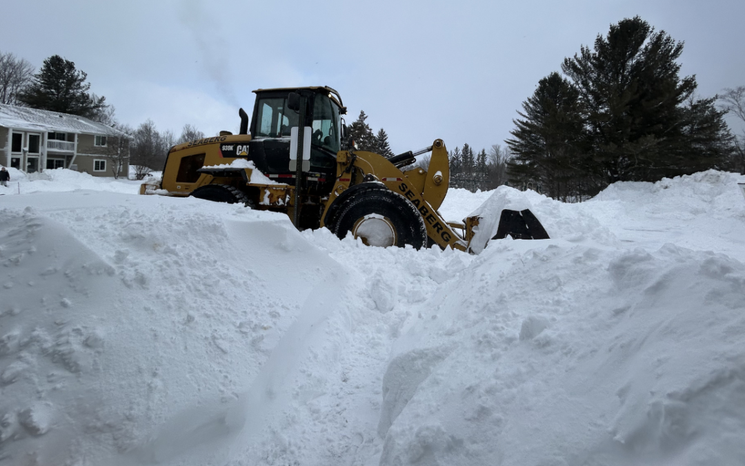
This winter’s increased snow load has led to hazardous travel conditions, closures and property damage across the central U.P.
In February alone, heavy snow broke through the roof of the Ishpeming VFW hall, followed by a partial collapse of the Westwood Mall in Marquette. Earlier in the month, blowing snow led to an 18-vehicle pileup on M-28 between Rock River and Harvey.
Observers report higher-than-normal accumulation along the entire southern shore of Lake Superior.
According to Lily Chapman, a meteorologist at the NWS office in Negaunee, total snowfall as of Feb. 26 was “running near and above normal for most of the U.P. in our usual suspect spots, so those northwesterly lake effect areas.”
Chapman added, “Across the Keweenaw into Baraga County, and then especially Alger County through Luce County, precipitation is actually running well above normal. As far as temperatures over that same period, we’ve actually been running near to slightly below normal compared to the usual December-January-February time period.”
Nicole Sprinkles, an NWS meteorologist with the agency’s Gaylord office, said totals along the east end of the lake are also outpacing expectations.
“We’re sitting at 152.1,” Sprinkles said on Feb. 26. “This is at the Sault Ste. Marie [monitoring station], but the normal for the entire season is typically 120.1, so we’re sitting already above average for typical snowfall for the season.”
Relatively inconsistent temperatures throughout much of December and January are partially to blame for the heavy precipitation. With ice cover low through the beginning of February, a chain of lake-effect systems used the open water as a sustained fuel source that only recently started to lose its potency.
Data from the National Oceanic and Atmospheric Administration shows ice coverage began rapidly increasing throughout the first half of February, dropping temporarily before peaking around 60% at the beginning of March.
The ice cover should mediate conditions going forward, with continued above-average — albeit less aggressive — snowfall possible as spring approaches.
So far, the season has been a mixed bag for winter recreationists.
According to Spencer Williamson of Grand Marais Powersports, snowmobile rentals have actually not been as busy as last year.
“Just because of everywhere having so much snow … they expected it to be a lot busier,” Williamson said.
With better-than-average conditions extending through most of Michigan and northern Wisconsin, many have opted to save a trip and ride closer to home. Those who do visit cover more ground with shorter stops and fewer local rentals.
The same pattern can be seen on non-motorized trails. Rhonda Lassila, president of the Munising Bay Trail Network, said area trail systems such as the Valley Spur Recreation Area aren’t the only ones that got snow this year.
“Everybody else is getting snow, too, so it’s a little bit slower this year,” she said. “Because of that, people aren’t traveling to ski because they’ve got snow by them.”
Even maintaining the trails at Valley Spur has been a challenge this year, with volunteers facing constant work and the temporary loss of their new groomer.
“It’s always a challenge for the groomer,” Lassila said. “When you’re getting snow every day and it’s harder for them to get the trail packed in and get the skate lanes hard … we had a warranty failure of a part, so we actually do not have our big tractor right now. So [the groomer operator] is still getting it done with the old Jeep.”
Despite the season’s challenges, relief appears to be on the horizon.
“It looks like it might settle down,” Sprinkles said. “We do see some warming coming soon, and it looks like a ridge is going to start to build over us that looks like it will slow down any kind of systems that raise our temperatures above normal. … As far as snow concerns, it looks like everything’s pretty much starting to calm down for this season.”